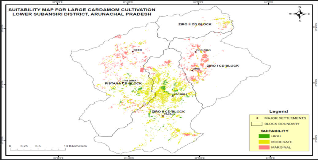
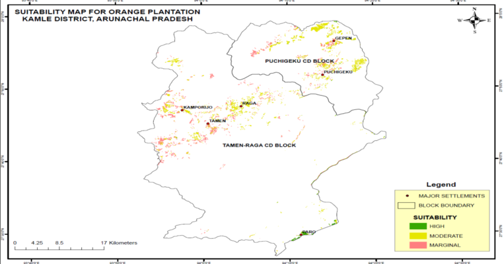
Coordinated Horticulture Assessment and Management using Geo-informatics (CHAMAN) project was initiated in September 2014 by the Department of Agriculture, Cooperation & Farmers Welfare (DAC&FW), Ministry of Agriculture & Farmers Welfare under the Mission for Integrated Development of Horticulture (MIDH) for the creation of spatial inventory and management of horticultural crops using remote sensing, GIS, and collateral field data.
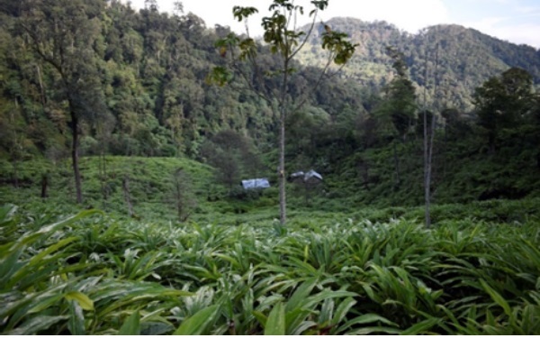
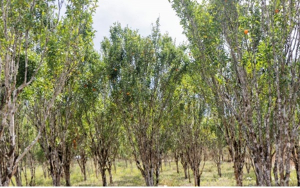
Various thematic layers like land use/landcover, soil depth, soil texture, soil drainage, soil erosion, soil pH, slope, elevation, etc., have been generated using multi-temporal IRS LISS-III/ LISS IV and CARTO-DEM data supported by other ancillary data and were integrated in the GIS environment.