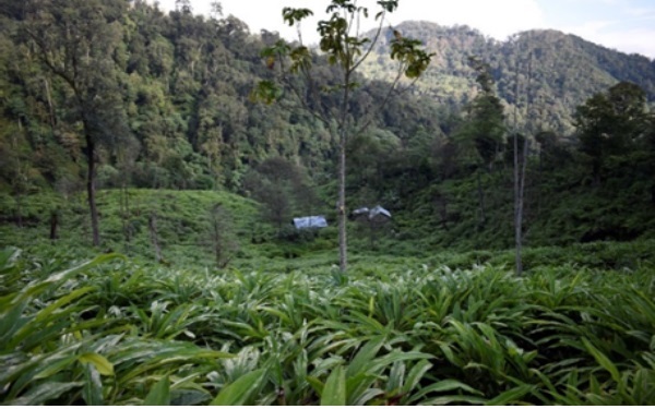
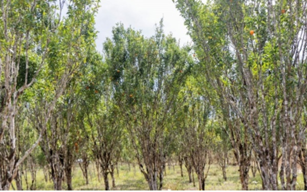
Coordinated Horticulture Assessment and Management using Geo-informatics (CHAMAN) project was initiated in September 2014 by Department of Agriculture, Cooperation & Farmers Welfare (DAC&FW), Ministry of Agriculture & Farmers Welfare under the Mission for Integrated Development of Horticulture (MIDH) for the creation of spatial inventory and management of horticultural crops using remote sensing, GIS and collateral field data. It was proposed to carry out site suitability study for horticulture development in all the states of north eastern region under this project. Accordingly, site suitability analysis for area expansion of one selected horticultural crop in one representative district from each north eastern state was carried out in the first phase of the project. Site suitability study for orange crop was taken up for Papum Pare district of Arunachal Pradesh in that phase. Seeing the success of first phase, 2nd phase of the CHAMAN project in the north eastern states was initiated in which identification of suitable sites for large cardamom in Lower Subansiri and orange in Kamle district of Arunachal Pradesh was selected.
Various thematic layers like land use/landcover, soil depth, soil texture, soil drainage, soil erosion, soil pH, slope, elevation etc. have been generated using multitemporal IRS LISS-III/ LISS IV and CARTO-DEM data supported by other ancillary data and were integrated in GIS environment. Ranked weighted overlay technique with respect to the growing condition of crops were used for identification of suitable sites and generation of site suitability maps for expansion of these crops at the district and block/village level.
The site suitability analysis has been executed mainly in current and abandoned shifting cultivation areas & scrub lands existing in the districts.


